Navigate and Capture Every Journey
Stop switching between apps. Get turn-by-turn navigation, geotagged photos, and route planning in one complete travel tool for commutes, road trips, and adventures.
Everything you need for smarter travel
Location-Stamped Photo Proof
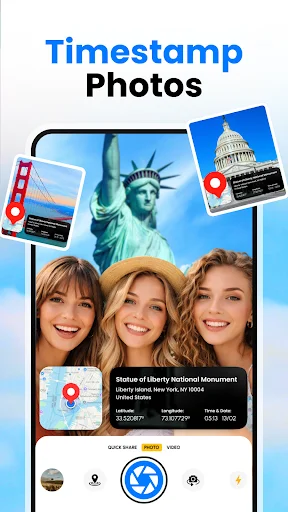
Add GPS coordinates, altitude, compass direction, and timestamps directly onto every photo. Create permanent visual records that show exactly where and when each image was captured – perfect for travel memories, field inspections, and professional documentation.
Voice-Guided Turn-by-Turn Directions
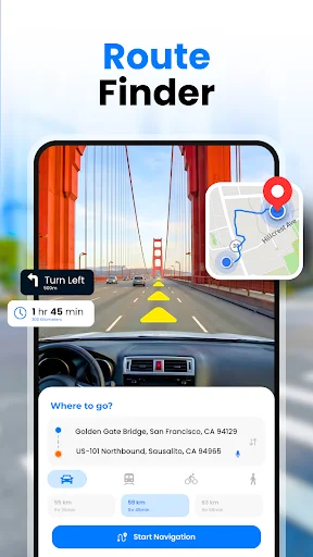
Follow spoken street directions hands-free while driving through any city or unfamiliar route. Get clear navigation guidance for daily commutes, tourist walking routes, and long-distance road trips without ever looking at your phone.
Multi-Stop Route Planning
Plan complex journeys with multiple destinations in one smooth route. Visit tourist attractions, schedule business stops, or map entire road trips while the app calculates the best path and shows points of interest along the way.
Essential Travel Utilities
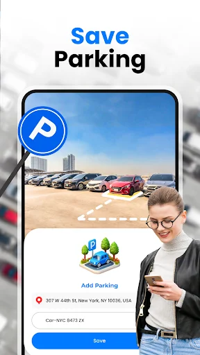
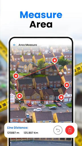
Never lose your parked car with GPS parking saver. Monitor speed in real time, estimate fuel costs before departure, measure area dimensions on location, and use the built-in compass for orientation anywhere – even with limited connectivity.
About GPS Navigation: Camera & Maps
GPS Navigation: Camera & Maps combines turn-by-turn routing, voice-guided directions, and a GPS timestamp camera into one travel tool. Plan routes, capture geotagged photos, and access tourist maps for every journey — whether commuting across the city or navigating unfamiliar roads on a road trip.
GPS Navigation: Camera & Maps serves commuters, tourists, and road trippers with a comprehensive set of location tools. Record GPS coordinates and latitude and longitude on every photo, follow voice navigation to each destination, and use the built-in compass for orientation when travelling through areas with limited connectivity.
GPS Navigation & Route Planning
- Turn-by-turn voice navigation with spoken street directions for hands-free driving
- Route planner for single-stop and multi-stop journeys across any distance
- Trip route planner for road trips, long-distance travel, and cross-country drives
- Commute navigation for daily routes with consistent start and end points
- Points of interest displayed along planned routes for tourist and travel use
- Walking directions for city navigation and urban tourist routes
GPS Camera & Photo Geotagging
Stamp latitude, longitude, altitude, compass direction, and timestamp data directly onto photos at the moment of capture. The GPS timestamp camera embeds precise location data into every image, creating a permanent visual record of where and when each photo was taken. Geotagged photos carry exact GPS coordinates reviewable after any trip, making the camera a reliable tool for travel photography, field inspection, and location-based record keeping. Each image also functions as a photo location tracker, linking visual content to a verifiable map point.
Travel Map & Tourist Navigation
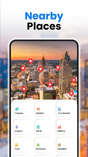
GPS Navigation: Camera & Maps includes a travel map tailored for tourists exploring new destinations. Browse points of interest, local attractions, and landmarks before arrival, then follow turn-by-turn walking directions through city streets on foot. Tourist attractions appear directly on the map, making it straightforward to plan a multi-stop route without switching between applications.
Commute & Daily Route Navigation
Camera, Maps & GPS Navigation tools support daily commuters with route planner functionality for recurring journeys. Set a starting point and destination, choose the fastest available path, and follow voice navigation hands-free. GPS coordinates are logged throughout each trip, providing a reliable location record across regular commute routes.
Road Trip & Field Utility Tools
A GPS speedometer monitors travel speed in real time throughout any drive or road trip. The fuel calculator estimates consumption based on planned route distance, supporting budget planning before departure. The parking saver records the GPS coordinates of a parked vehicle for on-foot retrieval. Field workers and outdoor professionals can use the area measurement tool to calculate surface dimensions directly on location.
Compass, Altitude & Outdoor Navigation
A built-in compass provides directional bearing at any location, supporting outdoor navigation where connectivity may be intermittent. Altitude data is recorded alongside latitude and longitude, adding elevation context to location stamps on both photos and maps. The compass and altitude tools work alongside all navigation and camera features, useful for hikers, field workers, and outdoor travelers.
Maps, GPS Navigation & Camera consolidates turn-by-turn routing, GPS photo stamping, route planning, and field tools into one application for travelers, commuters, and professionals. Download the app to begin navigating routes, capturing geotagged photos, and recording GPS coordinates across every journey.
See the app in action

Join thousands of satisfied travelers
Download now and navigate smarter today
Start your journey with our growing community today