Explore Earth with Real Satellite Views
Navigate confidently with live satellite imagery, 3D globe exploration, and voice-guided directions. Find parking, discover places, and capture memories – all in one powerful app.
Everything You Need to Navigate and Explore
Real Satellite Imagery
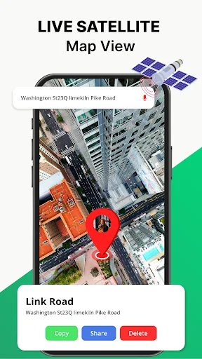
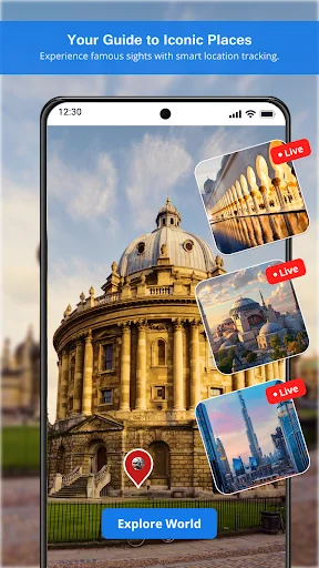
See the world as it truly looks from space with realistic satellite views and stunning 3D globe. Preview cities, landmarks, and destinations before you visit – turning every trip into an adventure of discovery.
Smart Voice Navigation
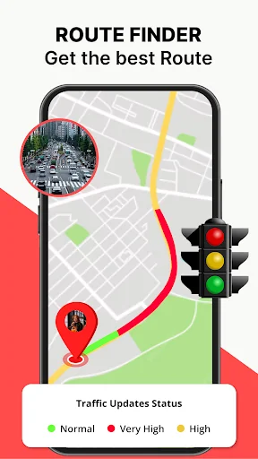
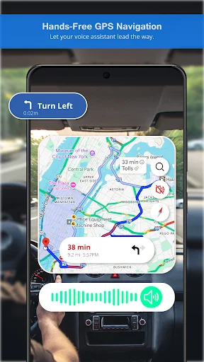
Drive safely with turn-by-turn voice directions and real-time traffic updates. Stay focused on the road while the app guides you around congestion, accidents, and delays – getting you there faster and stress-free.
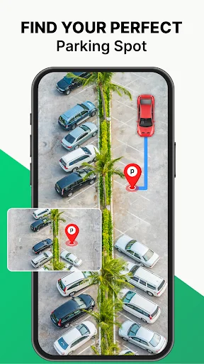
Effortless Parking Assistance
Stop wasting time and fuel searching for parking spots. Quickly find available parking near your destination in busy areas – saving you precious time and reducing the stress of city driving.
GPS Camera & Tools
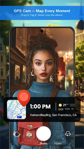
Capture travel photos with automatic location stamps, dates, and coordinates. Plus, access essential tools like compass, speedometer, altitude meter, and nearby places – everything you need in one convenient app.
About Earth Map: Live Satellite View
Live Earth Map & Satellite View
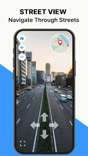
Live Earth Map & Satellite View lets you discover the world through interactive GPS maps and voice navigation. With real-time satellite imagery and a built-in GPS camera, your travel becomes smoother and more convenient. Explore a stunning 3D globe view, locate your routes with ease, and navigate confidently—whether you're driving across the city or visiting iconic landmarks around the globe.
Key Features of Live Earth Map - Satellite View
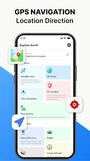
- Satellite View - Explore the world with real images captured from space instead of flat maps. Satellite View lets you see cities, streets, rivers, mountains, and landmarks in realistic detail, just as they appear from above. Perfect for travelers, explorers, and anyone who wants a real-life perspective of the Earth right on their screen.
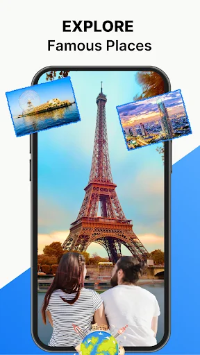
- 3D Globe - Spin, zoom, and explore the world in a realistic 3D model of Earth. The 3D Globe gives you a lifelike view of continents, countries, and oceans—making it easy to explore places from any angle. It's like having a digital globe in your hands, perfect for learning, traveling, or just discovering new destinations.
- Voice Navigation - Get turn-by-turn Voice Navigation & Driving directions that guide you safely to your destination without taking your eyes off the road. Voice Navigation makes driving easier and safer by announcing routes, lane changes, and upcoming turns in real time—so you can focus fully on your journey.
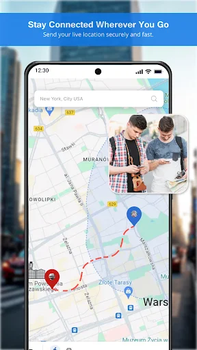
- My Location - Instantly find your exact position on the map with GPS accuracy. The Current Location feature helps you know where you are at any moment—whether you're exploring a new city, meeting friends, or navigating unfamiliar places.
- Parking Assistance - No more wasting time searching for a spot! The Parking feature helps you find available parking spaces nearby with ease. It guides you to safe and convenient locations, saving fuel, time, and stress—perfect for busy cities or crowded areas.
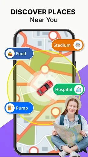
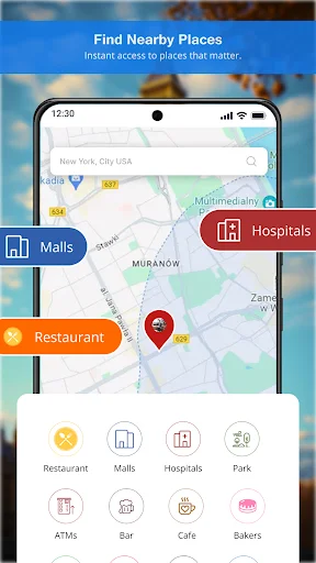
- Explore Nearby Places - Quickly search and explore restaurants, hotels, fuel stations, ATMs, hospitals, and tourist spots around you.
- Find Distance - Measure the distance between two points or track how far you've traveled.
- GPS Camera - Capture photos with location details (geotags), date, and time stamped—perfect for travel memories or sharing.
- Altitude Meter - Check your height above sea level—great for hiking, trekking, or mountain adventures.
- Level Meter & Live Sensor - Use built-in sensors to measure balance and angles—useful for leveling objects or outdoor activities.
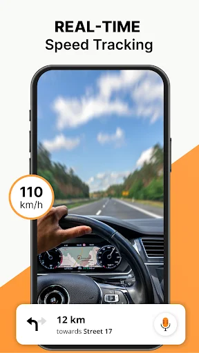
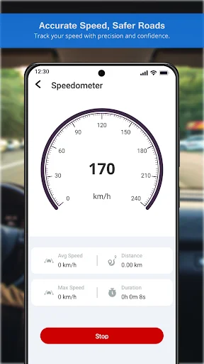
- Speedometer - Locate your current speed in real time while walking, cycling, or driving.
- Oxygen Level - Monitor your oxygen concentration (if supported by your device sensors)—useful for health and fitness awareness.
- Traffic Finder - Stay ahead of delays with real-time traffic updates. The Traffic Finder shows you live road conditions, traffic jams, accidents, and alternate routes—so you can save time and reach your destination faster. Whether you're commuting to work or planning a road trip, it helps you choose the quickest and smoothest path.
- Compass Direction - Always know which direction you're heading! The built-in Compass uses your phone's sensors to show North, South, East, and West in real time. Perfect for traveling, hiking, or exploring unfamiliar places, it helps you stay oriented and on the right path anywhere you go.
Exploring the world is now easier than ever with the Live Satellite – Earth Map 3D App. Preview any location and make your journeys more enjoyable. Step into the 3D Earth experience today with our Live Satellite View app.
See the App in Action
Loved by Travelers and Drivers Worldwide
I’ve been using LiveEarth for a few days and it’s honestly one of the most convenient navigation apps I’ve tried. The satellite view and 3D globe make exploring super engaging, and I love how easily I can find my location with accuracy. The parking feature is a lifesaver in busy areas!
liveEarth is a great companion for travel and daily use. The mix of navigation tools and unique features like saving parking spots sets it apart from other map apps.Definitely worth having on your phone if you're always on the go
I like this earth map application because they have satellite view and GPS navigation and GPS cam feature and I use these features so no need to install multiple apps . I recommended Thankyou
Amazing experience with the Earth Map application's navigation, especially the parking feature. Highly recommended!
no issues as yet would recommend its fun and u can use it to preplan trips u can see the terrain n wat to expect
Best Live map app with great features, very easy for me to find any location through this wonderful app
Start Exploring the World Today – Download Now
Join hundreds of thousands of users who have already made the switch